Two Guns
|
It's easy to pass Two Guns by on Interstate 40 despite its colorful name. The firearm handle apparently is tied to a local black hat who referred to himself as "Two Gun" Miller and lived in a cave in nearby Canyon Diablo, according to historian Marshall Trimble. Other reports identify him as Henry E. Miller.
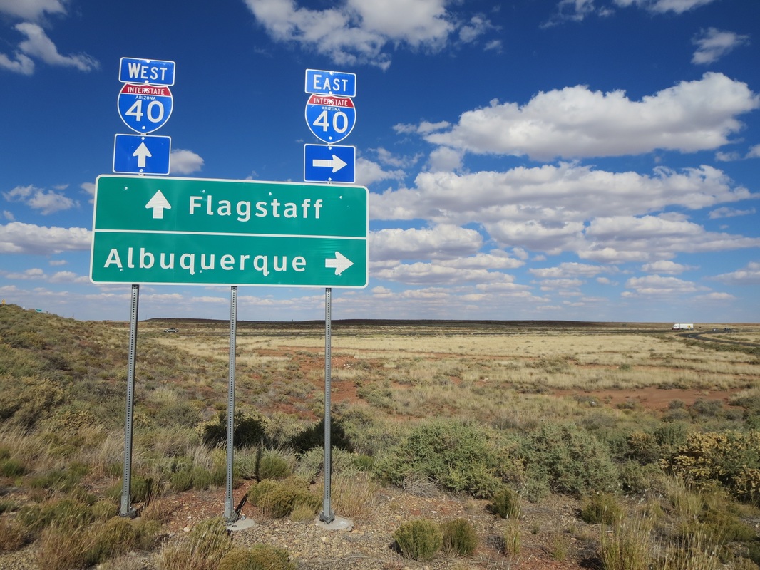
Visitors will notice that Two Guns has been holstered. There are no tourist services, just the remains of a mid-1970s Shell gas station and KOA campground with a A-frame office now in ruins. Taggers have painted colorful murals at the camp's pool and the gas station has been completely covered with graffiti. Two Guns is about 30 miles east of Flagstaff at Exit 230. It includes the ruins of a zoo that Miller started as a roadside attraction on Route 66. The former menagerie included mountain lions, panthers and bobcats. The crumbling zoo is west of the former campground and there's a bridge over Canyon Diablo that was part of an early Route 66 alignment. bit.ly/2vwu8qs In the early 1880s, railroad construction halted at Canyon Diablo to complete a bridge over the deep gorge and finance it. A town emerged on the eastern side of the canyon with saloons, brothels and merchants along what was called Hell Street. Canyon Diablo was about 3 1/2 miles north of Two Guns, but vestiges of the town have all but disappeared. bit.ly/2WnHT9G Nevertheless, the zoo ruins at Two Guns are among the most interesting faded tourist attractions on Route 66 in Arizona. |
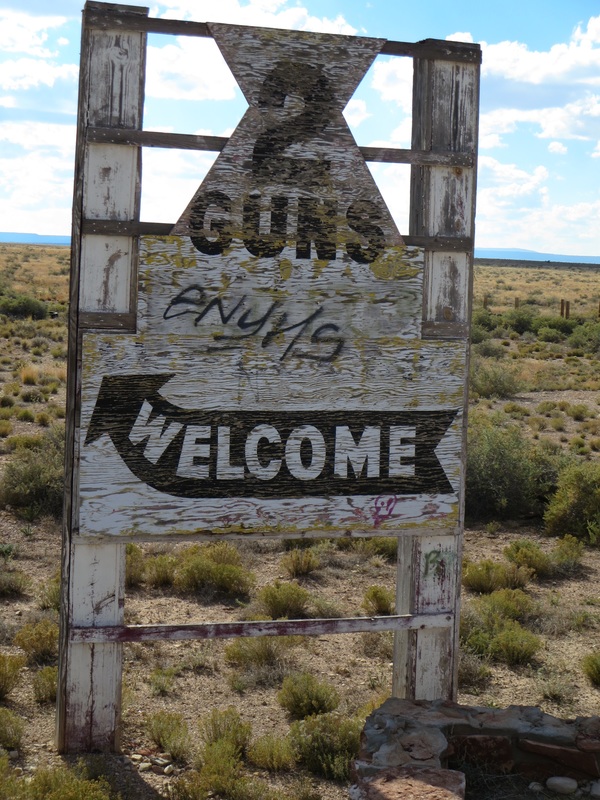
At one time, Two Guns was known as Canyon Lodge.
|
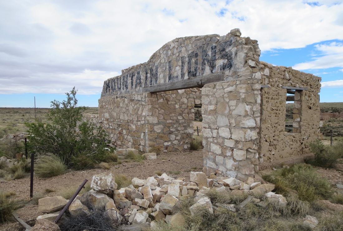
Henry "Two Gun" Miller is credited with starting a zoo along Route 66 east of Flagstaff that included mountain lions, panthers and bobcats.
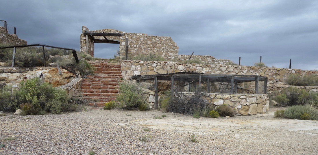
The roadside attraction of the Two Guns zoo is among the most fascinating road ruins along Route 66 in Arizona.
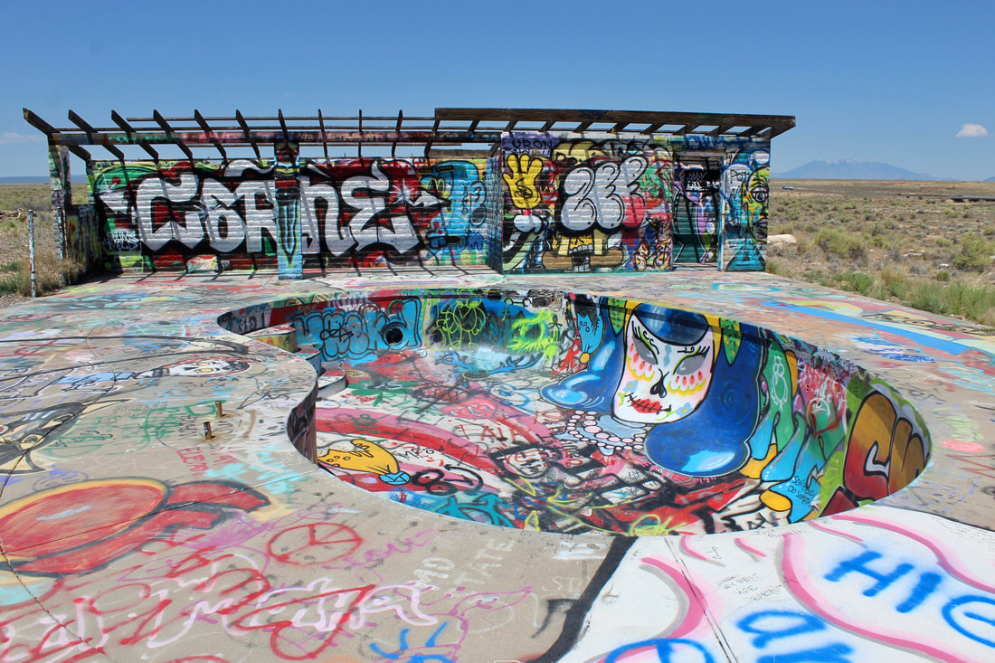
Taggers have splashed a lot of color and words on the pool deck of the former KOA camp. San Francisco Peaks are visible to the right.
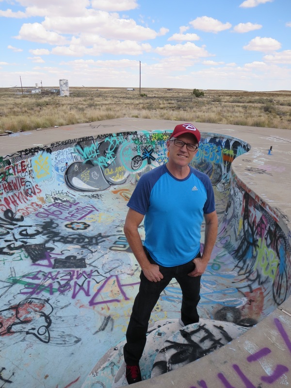
The Arizona Roadie in the pool on a fall afternoon in 2015.
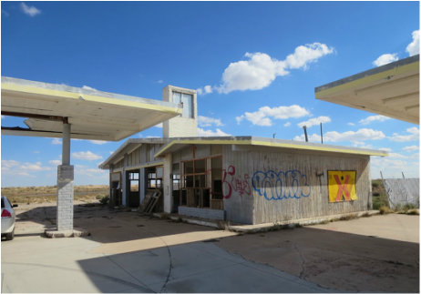
A Shell station with no gas, no oil and no air pump in this shot from 2015.
|
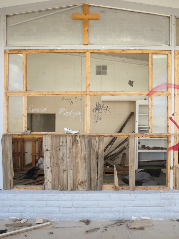
A cross and a random shoe at the Shell station ruin at Two Guns.
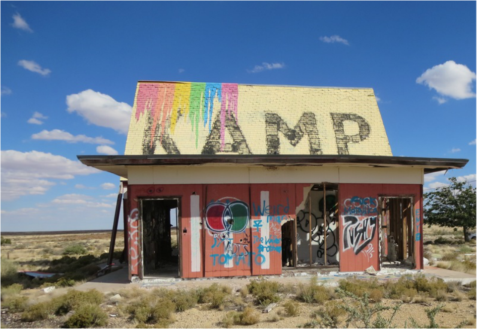
Vandals have targeted a former KOA campground office.
|
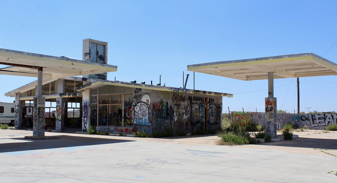
Taggers have colored just about every reachable surface at this shell of Shell station over the past few years. This was shot in late June 2019.
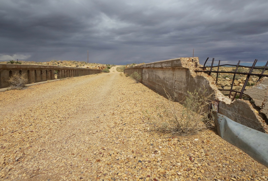
This crumbling 1915 bridge over Canyon Diablo is on an early alignment of Route 66 about 30 miles east of Flagstaff.
Interstate 40 has left Two Guns in the dust. Motorists, big rigs and fleeting clouds roll by the ghosts of Route 66 that are here.