ON THE ROAD ARIZONA
  • Home
    • About
    • Contact
  • Best of Arizona
    • Historic Maps
    • Best Arizona Events
    • Best Cycling Route
    • Best Scenic Drives
    • Best Saloons
    • Best Cactus League Ballparks
    • Best Vintage Neon
    • Best Bridges
    • Best Place Names
    • Best Historic Hotels
    • Best Road Songs
    • Best Historic Lodges
    • Arizona state symbols
    • Best Ways to Stay Safe
    • Best Metro Phoenix Resorts
  • Route 66
    • Ash Fork
    • Bellemont
    • Flagstaff Route 66
    • Hackberry
    • Holbrook Route 66
    • Joseph City
    • Kingman Route 66
    • Lupton
    • Oatman
    • Peach Springs
    • Seligman
    • Truxton
    • Twin Arrows
    • Two Guns
    • Williams
    • Winslow Route 66
  • Towns (A-F)
    • Ajo
    • Bisbee
    • Camp Verde
    • Cave Creek
    • Clarkdale
    • Clifton
    • Cottonwood
    • Douglas
    • Flagstaff
    • Florence
  • Towns (G-P)
    • Globe
    • Holbrook
    • Jerome
    • Kingman
    • Lake Havasu City
    • Mesa
    • Miami
    • Page
    • Payson
    • Prescott
  • Towns Q-Z
    • Salome
    • Scottsdale
    • Sedona
    • Superior
    • Tombstone
    • Tucson
    • Wickenburg
    • Willcox
    • Winslow
    • Yuma
  • Natl Parks
    • Canyon de Chelly
    • Chiricahua NM
    • Grand Canyon North Rim
    • Grand Canyon South Rim
    • Granite Mtn. Hotshots Memorial
    • Hubbell Trading Post
    • Jerome State Historic Park
    • Montezuma Castle NM
    • Navajo National Monument
    • Organ Pipe National Monument
    • Petrified Forest NP
    • Saguaro NP
    • San Xavier del Bac Mission
    • Sunset Crater Volcano NM
    • Superstitions
    • Tumacacori NHP
    • Tuzigoot NM
    • Walnut Canyon NM
    • Wupatki NM

Camp Verde

In 1865, the U.S. Army established Camp Lincoln, later called Camp Verde and Fort Verde. There were no fortified walls at Fort Verde since the Yavapais and Apaches never attacked any of the 43 forts in the Arizona territory.

 Fort Verde State Park's museum is surrounded  by a picket fence.  The historic outpost with worn wooden floors tells the stories of central Arizona's Indian wars. Artifacts include a bugle found in 1878 on the Little Bighorn battlefield. Buglers played it  in the Arizona territory until 1886.

Today, Camp Verde is home to a farming and ranching community  with the Verde River and its irrigation canals keeping the valley appropriately green. Verde is Spanish for "green."

The Yavpapai-Apache Nation occupies the nearby Middle Verde community west of town and operates the Cliff Castle Casino with a bowling alley and other entertainment. In April 2017, it opened a six-story, 122-room hotel to add to its existing 80 rooms.

Montezuma Castle National Monument, Montezuma Well, Verde Valley Archaeology Center and Out of Africa Wildlife Park are among Camp Verde's other attractions. We recommend  breakfast or lunch at Thanks A Latte Espresso Cafe in an old gas station on Main Street. Try the tasty breakfast burritos or a club sandwich. 

If kitschy roadside distractions are your thing, Camp Verde claims it  has the world's largest Kokopelli, a Navajo icon typically shown playing a flute. It's 32 feet tall and is located just east of Interstate 17 on State Route 260 (Exit 287) among tourist services.
Picture
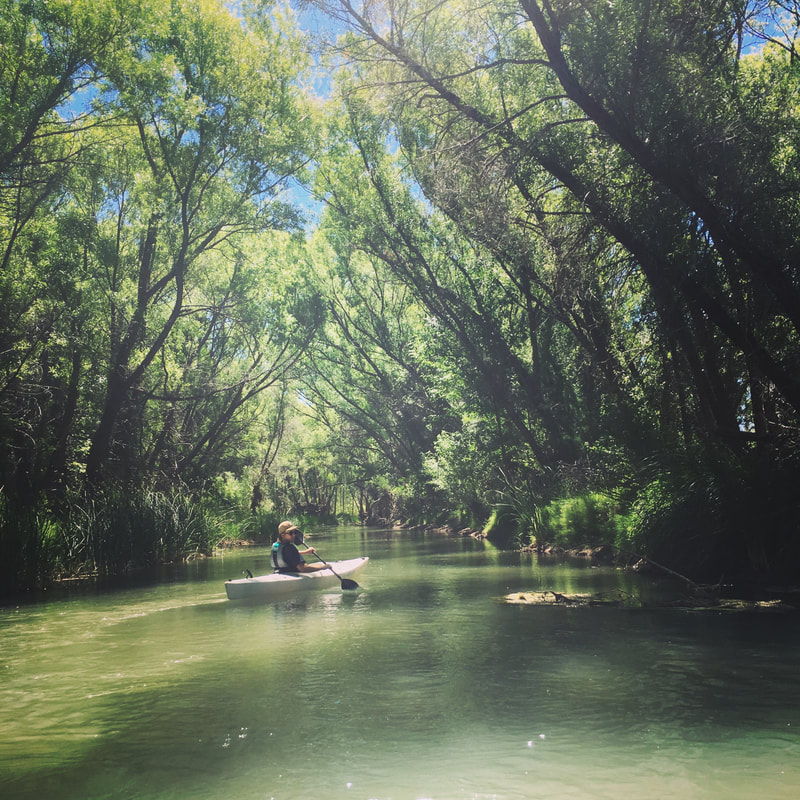
Kayakers and rafters paddle the Verde, especially during spring runoff.
We're anxious to try the craft beer at Verde Brewing Co., 724 Industrial Drive, northeast of I-17 and SR 260.

One footnote: Camp Verde boasts that the town is closest to the geographic center of Arizona. 

​Founded: 
1865
Elevation: 3,160 feet
Population: 11,259
Picture
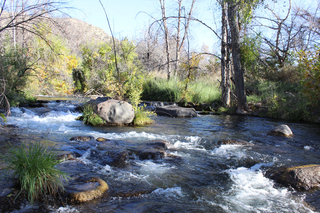
Fossil Creek is a popular recreation area 22 miles southeast of Camp Verde. Permits from Recreation.gov are required April 1 to October 1.
Picture
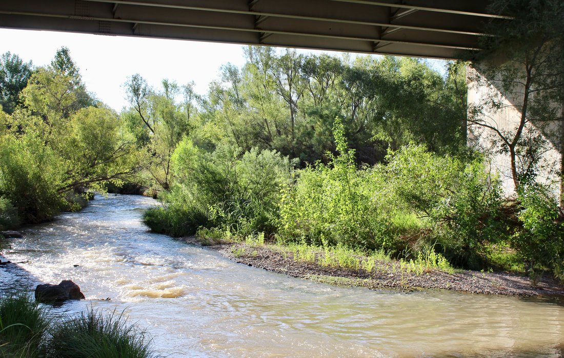
The Verde River passes under Interstate 17 at the 30-acre Parsons Riverfront Preserve, named for John Parsons, a local conservationist.
Picture
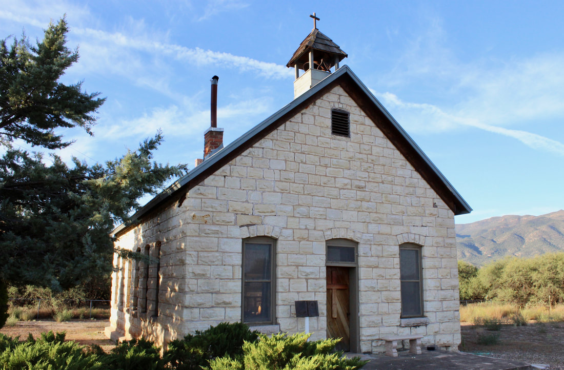
Clear Creek Church, east of town, was built from 1898 to 1903.
Picture
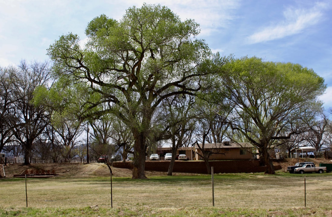
Cottonwoods and pecan trees shade a home on Camp Verde's Pecan Lane.
Picture
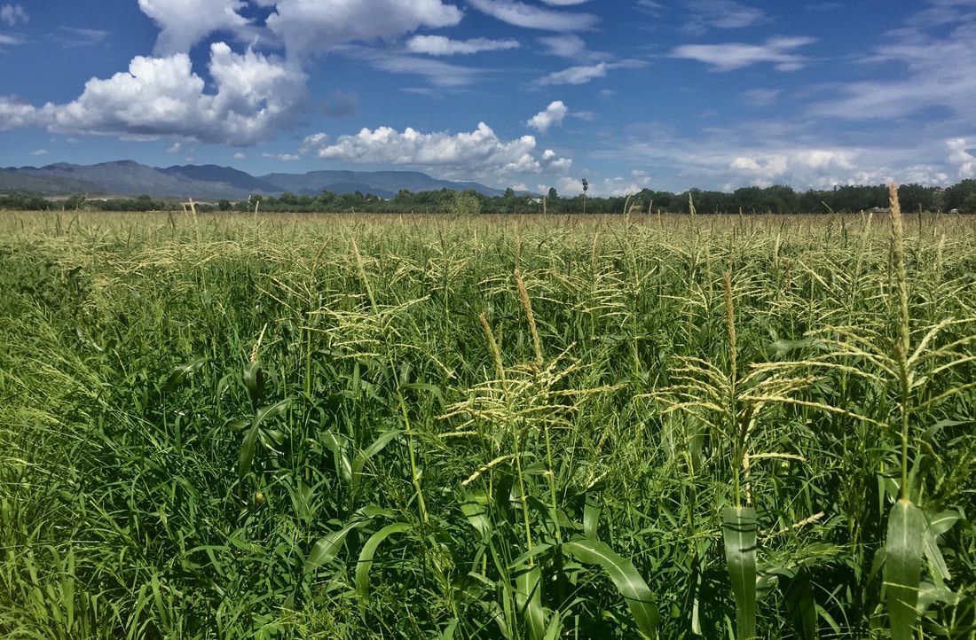
The Hauser family, which has farmed for six generations, sells sweet corn at a roadside stand in season on Montezuma Castle Highway.
Picture
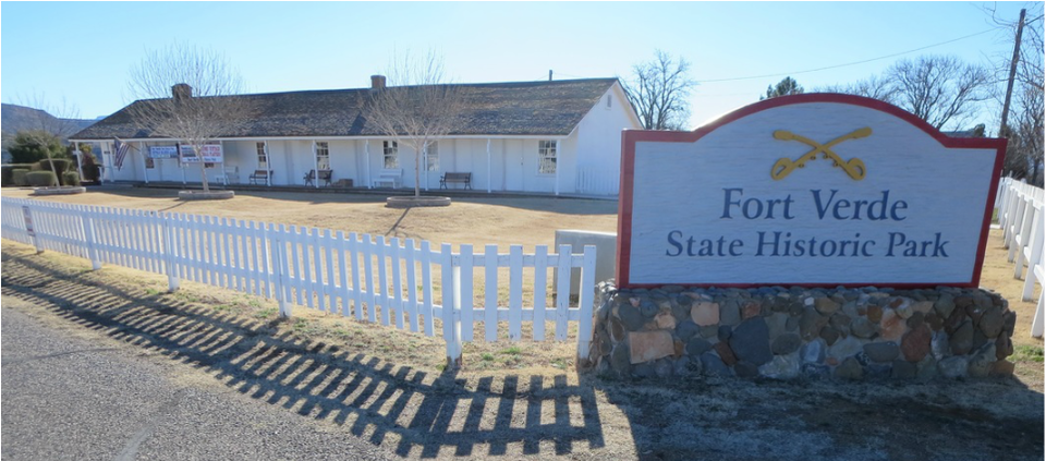
Fort Verde operated from 1865-91 with an average of 110 soldiers. They protected settlers who moved into areas occupied by Yavapai and Apache people.
Picture
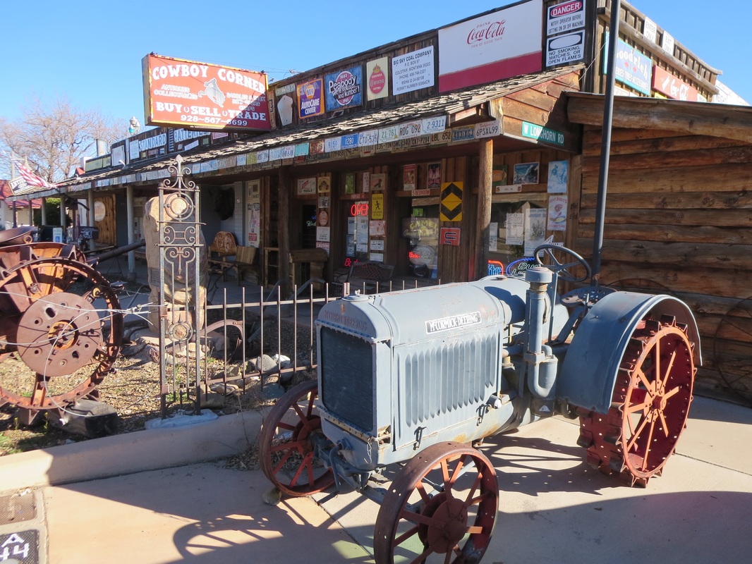
Cowboy Corner on Main Street is is thick with Western artifacts.
Picture
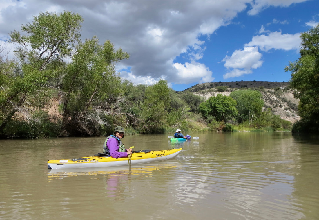
Kayakers floating downstream from Camp Verde headed for the takeout at Beasley Flat.
Proudly powered by Weebly
  • Home
    • About
    • Contact
  • Best of Arizona
    • Historic Maps
    • Best Arizona Events
    • Best Cycling Route
    • Best Scenic Drives
    • Best Saloons
    • Best Cactus League Ballparks
    • Best Vintage Neon
    • Best Bridges
    • Best Place Names
    • Best Historic Hotels
    • Best Road Songs
    • Best Historic Lodges
    • Arizona state symbols
    • Best Ways to Stay Safe
    • Best Metro Phoenix Resorts
  • Route 66
    • Ash Fork
    • Bellemont
    • Flagstaff Route 66
    • Hackberry
    • Holbrook Route 66
    • Joseph City
    • Kingman Route 66
    • Lupton
    • Oatman
    • Peach Springs
    • Seligman
    • Truxton
    • Twin Arrows
    • Two Guns
    • Williams
    • Winslow Route 66
  • Towns (A-F)
    • Ajo
    • Bisbee
    • Camp Verde
    • Cave Creek
    • Clarkdale
    • Clifton
    • Cottonwood
    • Douglas
    • Flagstaff
    • Florence
  • Towns (G-P)
    • Globe
    • Holbrook
    • Jerome
    • Kingman
    • Lake Havasu City
    • Mesa
    • Miami
    • Page
    • Payson
    • Prescott
  • Towns Q-Z
    • Salome
    • Scottsdale
    • Sedona
    • Superior
    • Tombstone
    • Tucson
    • Wickenburg
    • Willcox
    • Winslow
    • Yuma
  • Natl Parks
    • Canyon de Chelly
    • Chiricahua NM
    • Grand Canyon North Rim
    • Grand Canyon South Rim
    • Granite Mtn. Hotshots Memorial
    • Hubbell Trading Post
    • Jerome State Historic Park
    • Montezuma Castle NM
    • Navajo National Monument
    • Organ Pipe National Monument
    • Petrified Forest NP
    • Saguaro NP
    • San Xavier del Bac Mission
    • Sunset Crater Volcano NM
    • Superstitions
    • Tumacacori NHP
    • Tuzigoot NM
    • Walnut Canyon NM
    • Wupatki NM