Ash Fork
|
It’s hard not to feel sympathy for the plight of Ash Fork. The railroad and Interstate 40 left the town behind and its economy was crippled 40 years ago by the loss of Route 66 tourism.
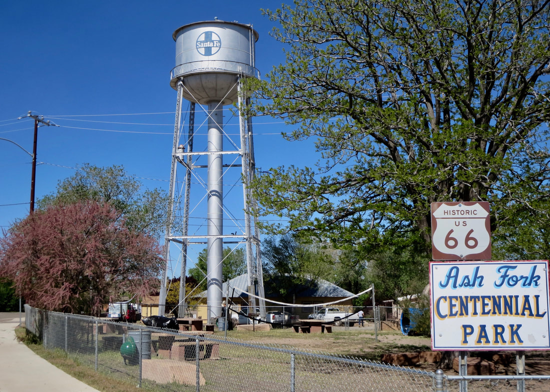
But Ash Fork is still standing with a rock-solid local enterprise that makes it the Flagstone Capital of the World. Route 66 roadtrippers are drawn to other popular towns on Arizona’s Mother Road, including nearby Williams, Seligman and Kingman. But don’t leave Ash Fork behind. It’s worth a spin through town even if it's mostly a residential community these days. Check out the town's pair of one-way streets — Lewis Avenue westbound and Park Avenue eastbound — that once catered to a steady flow of Route 66 travelers. There are a few Route 66 relics. Stop in at the west end of town at the Ash Fork Route 66 Museum. It's in a warehouse built circa 1912 for the town's railroad hotel. The Arizona Highway Department took over the warehouse in the 1920s. Visitors can get a look at what Ash Fork offered in its more prosperous days. Museum admission is free. The railroad arrived in 1883 and was an anchor of the town. In 1907, the elegant Escalante Hotel with its Harvey House restaurant opened for rail passengers. But rail travel declined after World War II as more travelers took to the highways and Route 66. The Escalante Hotel closed in 1951 and was torn down in 1973. Santa Fe Railroad moved its mainline 10 miles north of Ash Fork in 1960. Plus, a 1987 fire destroyed buildings in the heart of Ash Fork. A few shops have tried to capture Route 66 roadtrippers. The closed Hi-Line Motel is one reminder of the old highway. Other motels have been turned into apartments. Buy some gas in Ash Fork. Visit the Oasis Lounge. Spend some money in town if you can. They need it. Man do they need it. Visitors might be interested in a short hike to view two historic dams -- one made of steel and the other of stone. The prefabricated steel dam was erected in 1896 to capture water for the railroad's steam engines. The stone dam of pink sandstone from Winslow replaced the steel dam in 1911. To see the dams take Exit 151 (Welch Road) and travel north 0.3 miles, veer left on old Route 66 and drive west 1.4 miles to Forest Road 6-ED. Turn right to a dirt road into the parking lot. |
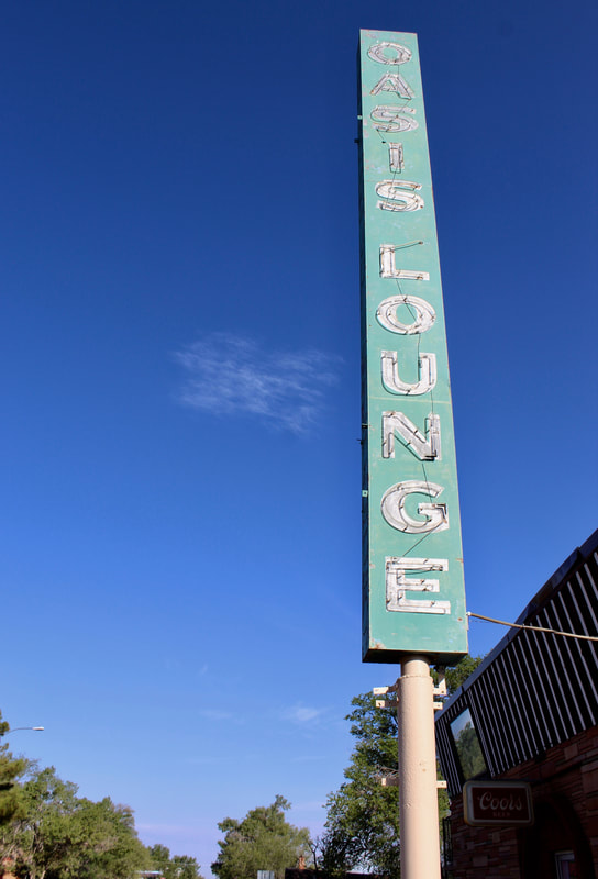
Oasis Lounge & Cafe on Park Avenue has a towering neon sign.
Motorists traveling west on I-40 can take the Crookton Road exit west of town to travel a 20-mile section of Route 66. It crosses over the BNSF railroad adjacent to an historic Route 66 bridge. The road, lined with witty Burma Shave signs, ends in Seligman
Also, check out the eastbound mountain views from Crookton Pass. Founded: 1882 Elevation: 5,160 Population: 457 Go west to Seligman: http://www.ontheroadarizona.com/seligman.html |
Ash Fork's fortunes were tied to the railroad and later Route 66 tourism. Both no longer support the town's struggling economy.
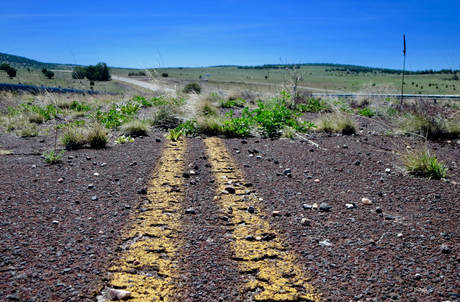
Crookton Road, an old Route 66 alignment, links Ash Fork to Seligman.
|
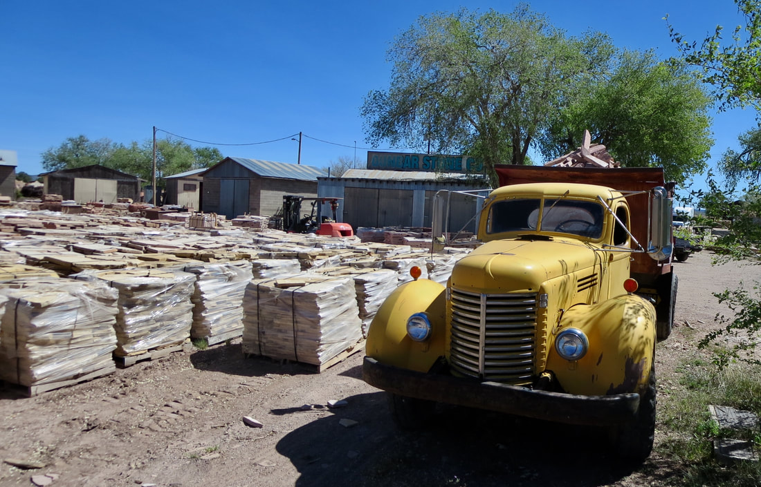
Ash Fork bills itself as the Flagstone Capital of the World.
|
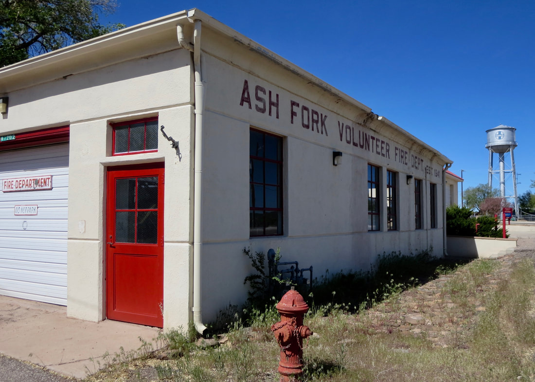
Volunteer firefighters protect the town, which had a ruinous 1987 fire.
|
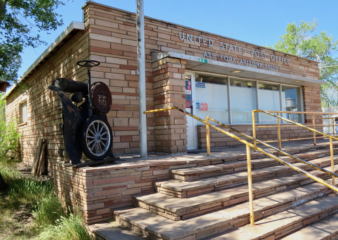
Ash Fork's post office is nicely finished with flagstone.
|
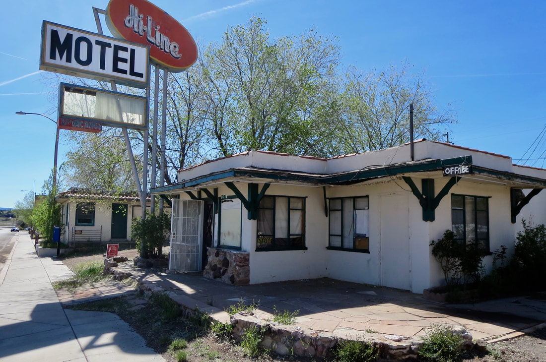
Hi Line Motel is a classic highway motor court that needs a renovation. It's on westbound Route 66 or Lewis Avenue.
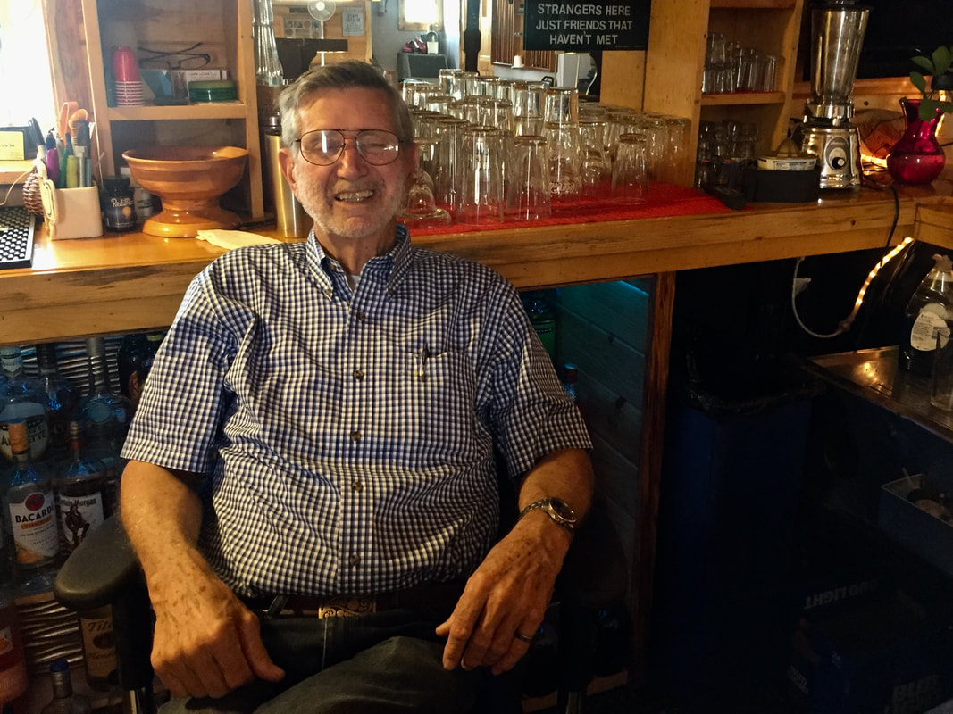
Longtime Oasis Lounge owner Al Reed, a former math teacher.
|
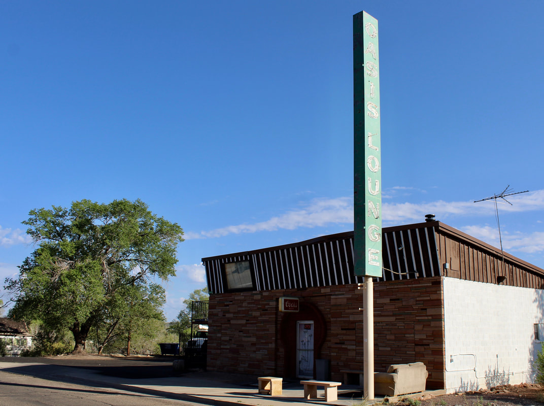
Oasis Lounge was a hub for railroad workers for decades.
|
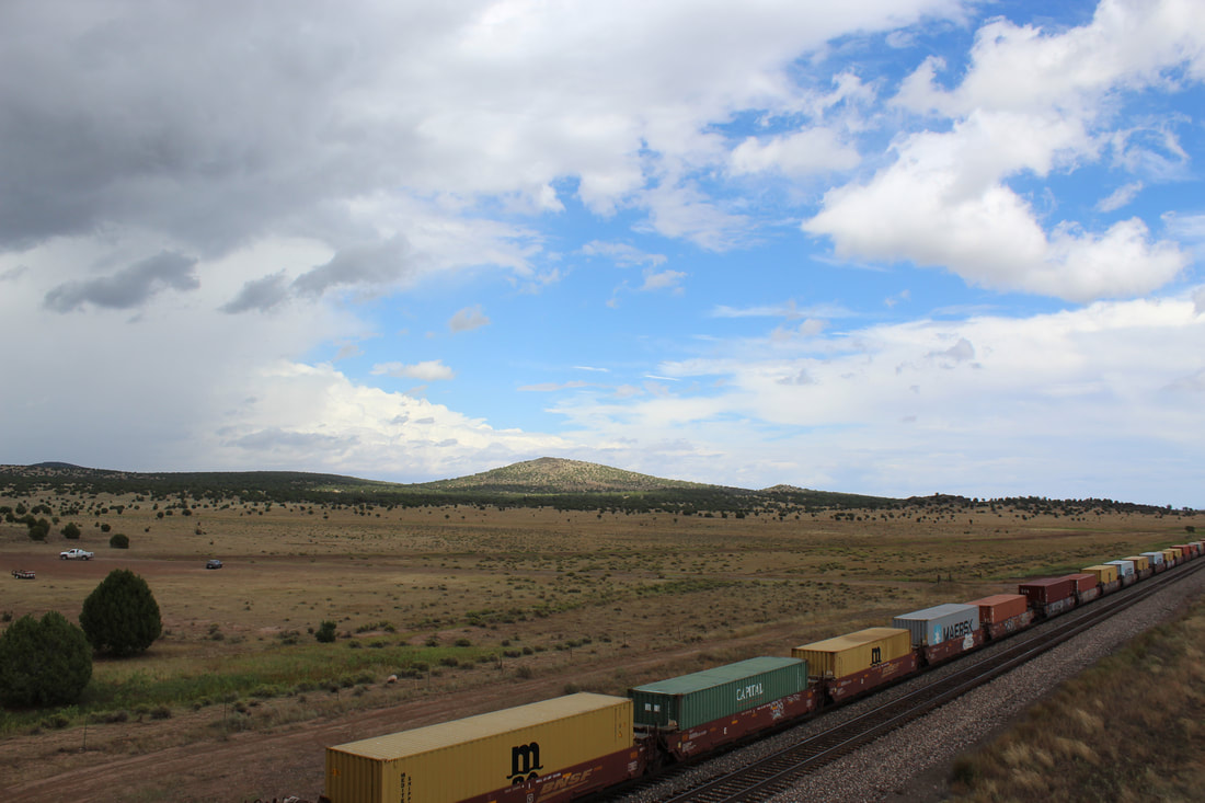
BNSF trains line up at the Crookton overpass on an old alignment of Route 66 west of Ash Fork.
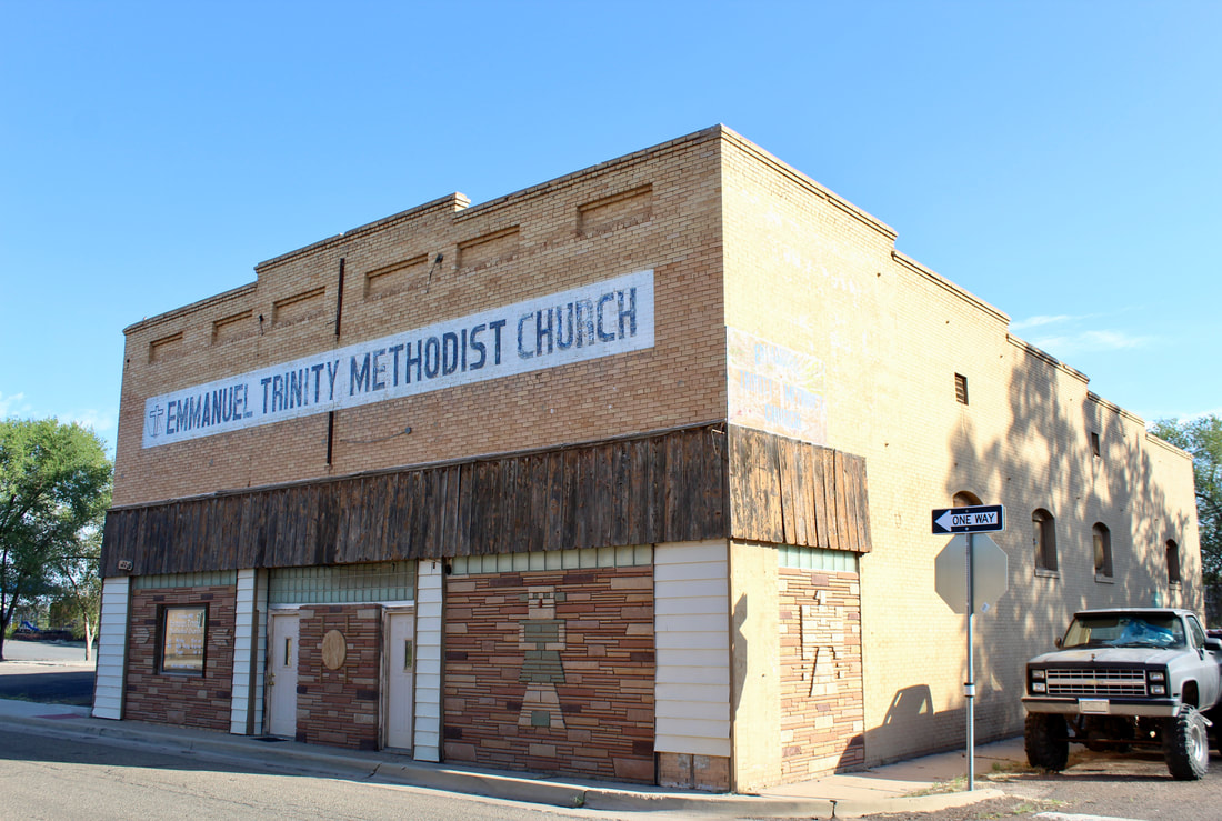
Charles Nixon did these Southwestern icons for a bar that later became a church. He and his wife Gladys celebrated their 70th wedding anniversary in 2018.